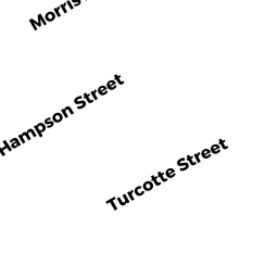
25 HAMPSON ST
Owner Information
MARTITZ RICHARD A
25 HAMPSON ST
ATTLEBORO, MA 02703


Property Details
25 HAMPSON ST is classified as a Two-Family Residential (Family conver.).
The primary structure on this property was built in 1968. There are 2,774ft2 of built area within this property. There is 1,802ft2 of residential/living space within this property. This property is listed as having 8 rooms.
25 HAMPSON ST is valued at $291,800. The land is valued at $111,400 and the structures are valued at $178,800. There is an additional valuation of $1,600 on this property.
The most recent deed for 25 HAMPSON ST is recorded at the local registrar in Book 6822, Page 0268. 25 HAMPSON ST was last sold on Wednesday, July 24, 1996 for $0.
Assessment data from fiscal year 2021.
Flood Data
According to the FEMA National Flood Hazard Layer, this property does not appear to be in a flood zone. It may also be in an area not yet reviewed. Nonetheless, confirm this information prior to taking any action.
To view the flood hazards around this property, create a FEMA "Firmette" Map of the area around 25 HAMPSON ST.
Broadband Internet Providers
| Provider | Type | Bandwidth (mbps) | |
|---|---|---|---|
| VSAT Systems, LLC. | Satellite | 2 | 1 |
| HughesNet | Satellite | 25 | 3 |
| Comcast | Cable | 1000 | 35 |
| GCI Communication Corp. | Satellite | 0 | 0 |
| Viasat Inc | Satellite | 100 | 3 |
| Verizon New England Inc. | DSL | 5 | 0 |
Broadband service provider data from December 2020.
Adjacent Properties
- 27 TURCOTTE ST
Single Family Residential owned by BROUGH KEITH A & SUZANNE R - 19 HAMPSON ST
Two-Family Residential owned by VOLPE CHARLES G - 17 TURCOTTE ST
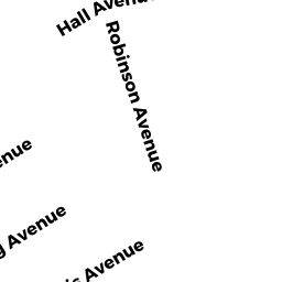
Apartments with Four to Eight Units owned by LEBLANC PROPERTIES - TURCOTTE LLC - 395 ROBINSON AVE
Two-Family Residential owned by BAESSA, LEOVANNI & VICTORIA - 393 ROBINSON AVE
Single Family Residential owned by MOORE ERIC S & LINDA K